

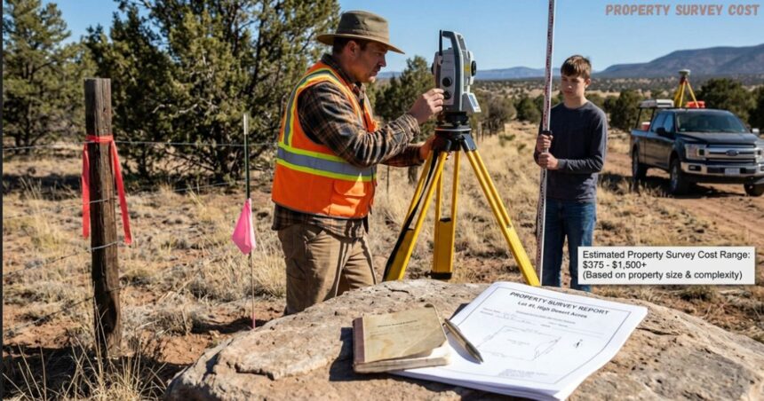
Buying land in the western United States often starts with excitement and ends with one nagging question: what will a land survey cost you? Whether you eye raw ground in Arizona, California, Colorado, Hawaii, Nevada, New Mexico, or Oregon, the land survey cost can feel like a hidden fee that shows up late in the purchase process. First-time land buyers rarely know that the Property Survey Cost for a boundary survey report from a professional service can run anywhere from $375 to $745, with a national average of $525 for a typical residential property.
Simple Land Buying and Surveying Transparent Pricing and Expert Guidance
I have watched companies like Dollar Land Store build a name around transparent pricing, full disclosure, and owner financing that skips the bank and the credit check altogether, while firms like Haller & Blanchard carry decades of history in the surveying world and have even earned attention from FOX News. Neither company leans on brokers, which keeps the land ownership journey simpler for anyone chasing vacant land. This kind of buyer education matters because a raw land purchase hides more boundary questions than most people expect, and knowing the terrain ahead of time protects your project from surprises.
This guide breaks down land survey pricing in a fresh way, covering the types of surveys you might need and the price ranges tied to each option, plus how real estate transactions treat cost differently depending on location. Read through this and you will walk away with an informed decision about your own property and your own survey needs.
What Affects Land Survey Cost?
A property survey cost is never a fixed number, and several factors decide where your price lands once the survey process begins. Property size and lot size matter first, since a larger lot takes longer to walk and measure than a small one, and no two survey jobs share the same cost once that extra time shows up in your overall cost.
Terrain shapes the job just as much as size does, and rugged terrain, heavily wooded terrain, or ground covered in trees and rocky soil raises the complexity and slows down every measurement. Add slopes into the mix and the price climbs even faster than flat ground would suggest. Remote areas add their own twist too, because a licensed surveyor may charge travel fees for the distance needed to reach an accessible land parcel sitting far outside town, and that pushes survey expenses upward across many regions.
Older parcels bring a different kind of headache, since incomplete records, conflicting records, and messy title history demand more research before any legal documentation gets finalized, turning a routine survey type into a time-consuming and complex task through extra scope of work. Clean existing documentation on a site keeps the job simple, so anyone weighing property conditions against their budget should also look at acre of land cost trends across different location before comparing a basic boundary surveys quote with a full parcels review.
Types Of Surveys And What Each One Runs You
Every property owner asks the same question sooner or later: what does a boundary survey cost, and how does that number compare across other land surveys? A quick breakdown shows that homeowners pay the least for a standard residential lot or a rural lot, while larger parcels and complex parcels push the price higher because more legal boundaries need confirming. This survey remains one of the commonly requested surveys among vacant land purchases, and it usually runs between $500 and $1,500 for a typical yard.
A licensed team locates property corners, studies deed descriptions, cross-checks historical records, and draws a plat that shows the true boundaries of your property, which matters whenever a fence goes up or a dispute over a line threatens a construction project. Boundary survey price depends on several factors, starting with property size: a small suburban lot finishes fast, while a 20-acre parcel wrapped in wooded terrain takes far longer to walk. Terrain accessibility plays a role too, since hills, thick brush, waterways, and uneven ground all add time on site.
Deed complexity can turn a routine job into a research project, since some deeds contain gaps, overlaps, missing bearings, or conflicting descriptions that demand extra research and careful reconciliation with old paperwork. Corner recovery adds another layer of work, because corners sometimes hide under rocks or thick vegetation, and pulling them back into view takes precise calculations and sound professional judgment from a surveyor who has seen it all before.
The Strategic Value of Historical Data in Land Surveying
An oldest surveying firm in any region often holds an advantage newer competitors cannot match, since old fence lines rarely line up with the deed on paper, and hidden monuments buried under soil can trigger a legal challenge years later. Choosing an accurate survey upfront costs far less than fixing a fence installed a foot over the line, which can cost thousands once neighbors get involved, and a building placed incorrectly can spiral into legal issues or zoning problems. A long-established firm such as Haller & Blanchard keeps records stretching back generations, so their original data often beats what newer firms can offer, saving time, cutting down on conflicts, and boosting overall accuracy.
Transparency around costs matters just as much as the survey itself, and a good firm walks clients through the reasoning behind every fee so people understand the physical work, the responsibility, and the precision tied to marking legal property boundaries. Treat a survey as more than a home expense — see it as an investment in clarity, protection, and long-term peace of mind for whatever purposes you have planned.
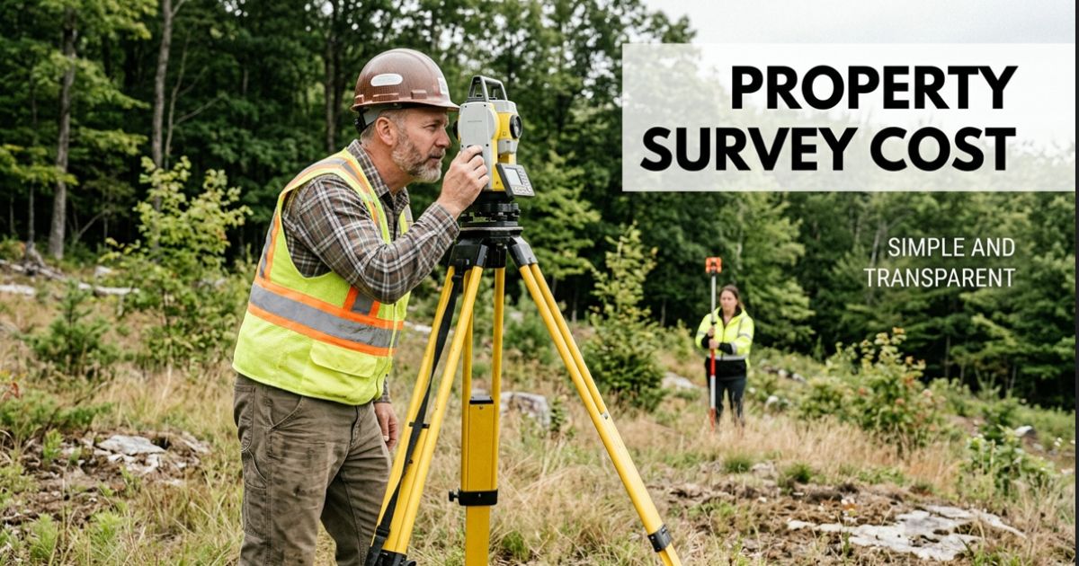
Beyond the standard boundary survey, other survey types fill specific niches, and fencing surveys along with subdivision surveys rank among the least expensive choices since existing records already cover most of the groundwork. On the opposite end, the American Land Title Association issues the ALTA standard, and both that work and new construction surveys sit among the most expensive options because they stay far more thorough than a basic check. Looking at average costs, an ALTA survey runs $2,000 to $3,000, an As-built survey lands between $800 and $1,200, a plain Boundary job costs $400 to $700, and Fencing work stays between $250 and $1,000.
Overview of Standard Property Survey Costs
A Mortgage survey also lands near $400 to $700, New construction work climbs to $1,000 through $2,000, a Plat survey matches the Boundary range at $400 to $700, and Staking jobs swing widely from $200 up to $2,000 depending on the site. Subdivision surveys stay cheaper at $300 to $400, while Topographic work runs $500 to $1,200.
A topographic survey maps elevation changes, natural landmarks, and other physical features across a lot size worth studying, and this option carries more terrain complexity and level of detail than a simple boundary check, often pushing an already $1,000 job toward the higher end of its $6,500 range. The ALTA/NSPS survey stands as the most comprehensive option on the list, and lenders and title companies usually demand it before closing commercial transactions, which explains why the cost of land survey at this tier starts near $2,500 and climbs past $10,000 for anything outside a straightforward raw land purchases deal, since establishing the legal limits of a parcel is the entire point of hiring a surveyor.
A boundary survey stays the go-to pick for confirming property lines during real estate transactions or settling boundary disputes between neighbors, while construction planning relies on maps that capture man-made features, trees, and other structures sitting on the land. Commercial properties often need the full ALTA treatment because complex transactions call for extra legal details and structural details, covering everything from easements to recent improvements on the site. A new construction survey guides where building begins, sets the exact placement of each structure, and often folds several survey types into one comprehensive process rather than treating each step alone.
A plat survey produces a legal map that lays out boundaries, easements, and other key features for official documentation and property records, while a subdivision survey steps in whenever land splits into multiple lots that must meet local zoning and land-use requirements. Finally, a staking survey marks the planned locations of structures, utilities, or boundary lines right on the ground during active construction.
Additional Land Survey Costs To Consider
A handful of side factors can nudge the total cost of any job up or down, especially anything tied to a property’s history, its location, or the level of detail a client requests. Seasonal conditions matter more than people assume, since time constraints, travel and location, and requests for additional services all add line items that a flat quote rarely mentions upfront.
Availability of existing records speeds everything along, because previous surveys, old maps, and clear legal descriptions let the process move faster and stay more affordable for the client footing the bill. When missing records or outdated records stand in the way, surveyors must dig deeper into property history before they can even start measuring the land.
What Is a Land Survey?
At its core, a land survey is a detailed measurement of a property that pins down its legal boundaries, its physical features, and any structures or improvements sitting on the ground, creating an official record you can use as reference for construction, permitting, or other property transactions. Anyone building, buying, or making changes to property usually needs this record close at hand, since it confirms property lines, flags easements or encroachments, and helps prevent disputes with neighbors or local authorities.
Understanding Your Property Survey Cost and Professional Requirements
Unlike informal measurements taken with a tape and a guess, a professional survey stays legally binding and must come from a licensed surveyor, which gives the resulting documentation real weight during real estate transactions. Understanding the total Property Survey Cost is crucial, as that level of trust matters when property details need to stay accurate and clearly defined before anyone starts real work on the land.
FAQs
1. What is the average property survey cost for a home?
The average property survey cost ranges from $300 to $900 for a standard residential lot, depending on size, terrain, and location.
2. What factors affect survey pricing?
Key factors include lot size, terrain complexity, heavily wooded areas, and the type of survey required by your lender or municipality.
3. What does a standard survey include?
It includes public land record research, on-site measurement, physical tagging of property corners, and a certified map detailing boundary lines and encroachments.
4. How long does a property survey take?
The overall process takes 3 to 10 business days, with field measurements usually requiring 1 to 2 days on-site.
5. How can I lower my overall property survey cost?
You can reduce your property survey cost by providing existing title documents, deed descriptions, or prior boundary maps to the surveyor upfront.